
TL;DR

Get travel and outdoor gear delivered free with Prime
- Fast, free delivery on millions of items
- Prime Video, Amazon Music and more included
- Member-only deals all year
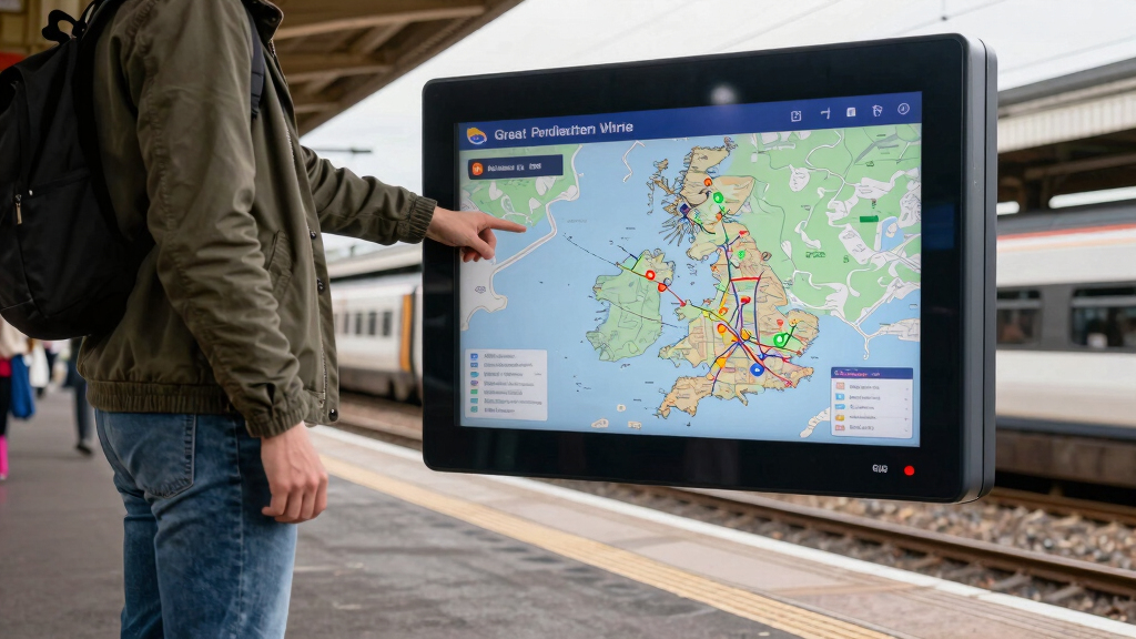
Transport authorities have launched a real-time map of Great Britain’s rail network, providing live train location data. The system aims to enhance passenger experience and operational efficiency, but some features are still being tested.
Transport authorities in Great Britain have launched a real-time map of the rail network, providing live updates on train locations across the country. This development aims to improve passenger information services and operational management, with the system now accessible to the public.
The new system, developed in partnership with technology firms, streams live data on train positions, delays, and service statuses. It is accessible via mobile and desktop platforms, offering a detailed view of train movements across major routes and stations. According to the Department for Transport, the map is currently in a phased rollout, with full coverage expected within the next few months.
Officials confirmed that the map pulls data directly from train operators’ tracking systems, ensuring up-to-date information. The launch follows pilot testing in select regions, during which user feedback was collected to refine the interface and data accuracy. The system also includes features such as service alerts and estimated arrival times, aiming to assist commuters and reduce crowding at stations.
Implications for Passengers and Rail Operations
This new live map represents a significant step toward modernizing rail travel in Great Britain. For passengers, it offers greater transparency about train statuses, helping them plan journeys more effectively and reduce waiting times. For operators, real-time data can improve scheduling, reduce delays, and optimize resource deployment. The system also aligns with broader digital transformation efforts within the UK transport network, aiming to increase efficiency and passenger satisfaction.
As an affiliate, we earn on qualifying purchases.
Previous Efforts to Modernize Rail Data Sharing
Great Britain has seen ongoing efforts to improve passenger information systems, including station displays and mobile apps. However, until now, real-time train tracking was limited and often fragmented across different operators. The launch of this comprehensive map follows years of development and pilot projects aimed at integrating data sources into a single, accessible platform. Similar systems are in place in other countries, highlighting a global trend toward digital transit management.
“This real-time map marks a major milestone in making rail travel more transparent and user-friendly. We are committed to delivering better information to passengers and improving operational efficiency.”
— Transport Minister Jane Smith
Features Still Under Testing and Data Accuracy Concerns
While the map is now accessible to the public, some features are still being refined, and data accuracy is under review. Officials have acknowledged that initial updates may occasionally show delays or incomplete information, especially during high-traffic periods or technical issues. It is not yet clear when all features will be fully operational or how the system will handle outages or discrepancies.
Phased Rollout and System Enhancements Expected in Coming Months
The Department for Transport plans to expand the map’s coverage gradually, incorporating additional routes and stations. Developers will continue to gather user feedback to improve usability and reliability. Future updates may include predictive delay modeling and integration with other transport modes, aiming to create a comprehensive travel planning tool for all of Great Britain’s transit services.
Key Questions
How can I access the real-time rail map?
The map is available via the official Department for Transport website and mobile apps, accessible on smartphones and desktop devices.
Will the map show live updates for all train routes across Great Britain?
Currently, coverage is limited to major routes and key stations, with plans to expand fully in the coming months.
Are there any costs associated with using the map?
No, the map is provided free of charge as part of government efforts to enhance passenger information services.
What should passengers do if the map shows inaccurate information?
Passengers should still rely on station announcements and official service updates, as the system is still being refined and may have occasional inaccuracies.
Will the map include future features like predictive delays?
Future updates are planned to incorporate predictive analytics and other advanced features, but these are not yet available.
Source: hn
Columbus Day / Indigenous Peoples' Day Picks
long weekend sales
As an affiliate, we earn on qualifying purchases.